Saturday, 21 July 2018
Tentsite mile 123.3 – Fire Creek (134.8): 11.5 miles / 164.7 total miles walked
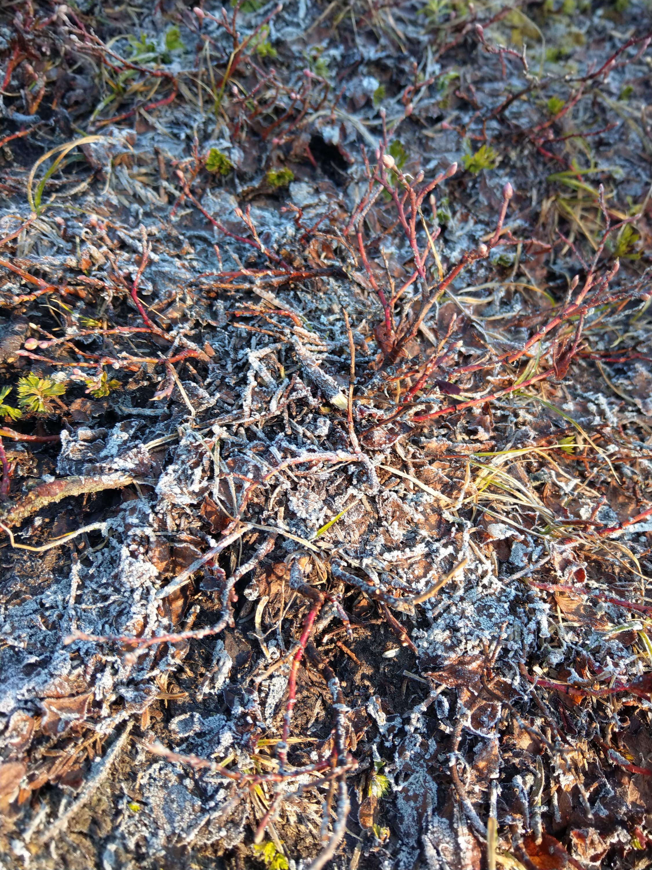
I didn’t set an alarm this morning and tried to give my body the rest it so desperately needs. I still managed to start hiking by 7 am. And there was frost on the ground…..
The first few miles were a constant descent through thickly grown and wet underbrush, sometimes the ferns came up to my chin. The trail was barely visible and very rocky and slanted. Not fun at all to walk on. I was Trippy McTripsalot again today (a nickname given to me by Sink, because I tend to stumble over my own feet a lot) and I almost fell down the steep slope of the mountain once or twice because of invisible rocks trying to kill me.

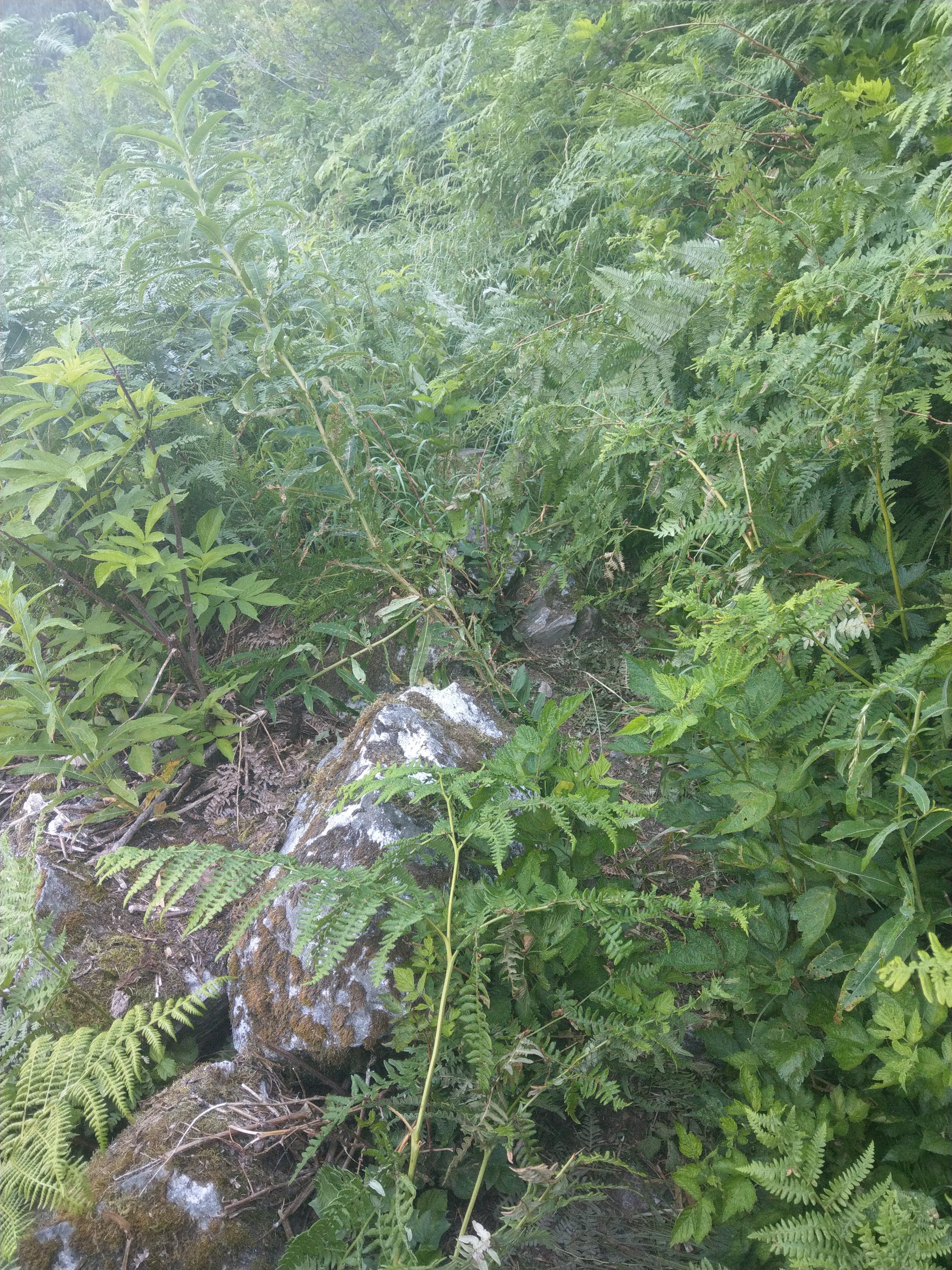
I admit, the brushy car wash almost brought me to tears and I was completely soaked by the time I made it to the river at around 9:30. Thankfully there was a bridge over the river and SUNSHINE. My pants actually started steaming 😂
After I shoveled some food in my face the 3000 ft climb back up on the other side of the mountain started. At first I was flying up the switchbacks, feeling really good. Until I took a break in a meadow, where I washed my panties in a creek and sat down for a bit.
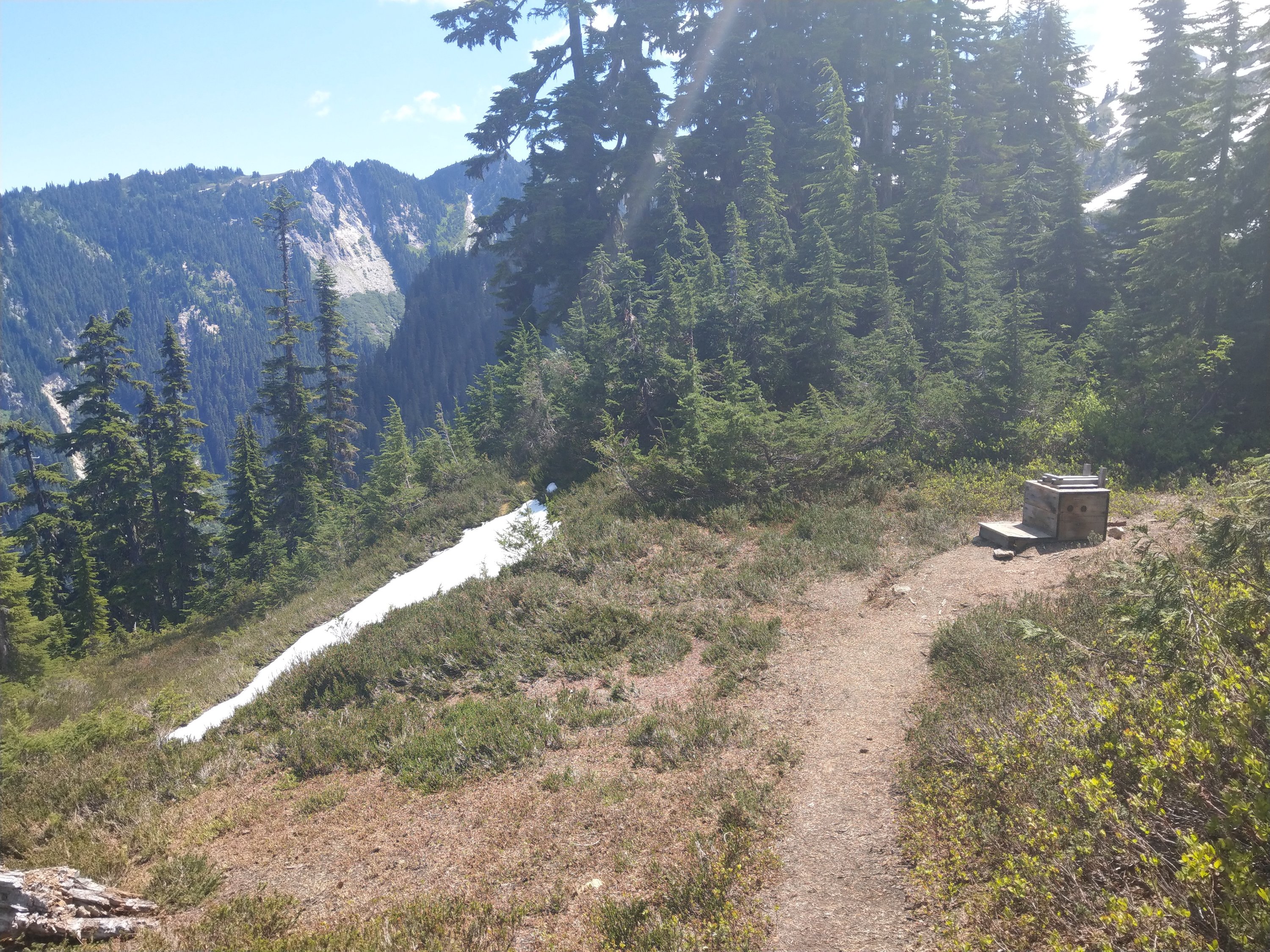
After that, I was in Struggletown…..and the hard climb hadn’t even begun yet. 🙄 I had another poo with a view and then made it the last few switchbacks up to Mica Lake…..which was frozen. But you could see hints of the crazy blue water.

Just before the lake I crossed a raging stream and I’m lucky I didn’t die doing it. Instead of following the established footprints across a snowbridge I decided to climb further up to cross on rocks. I didn’t anticipate the distance between the rocks to be that big though, so it was pure luck that I made it safely across. Dumb luck.
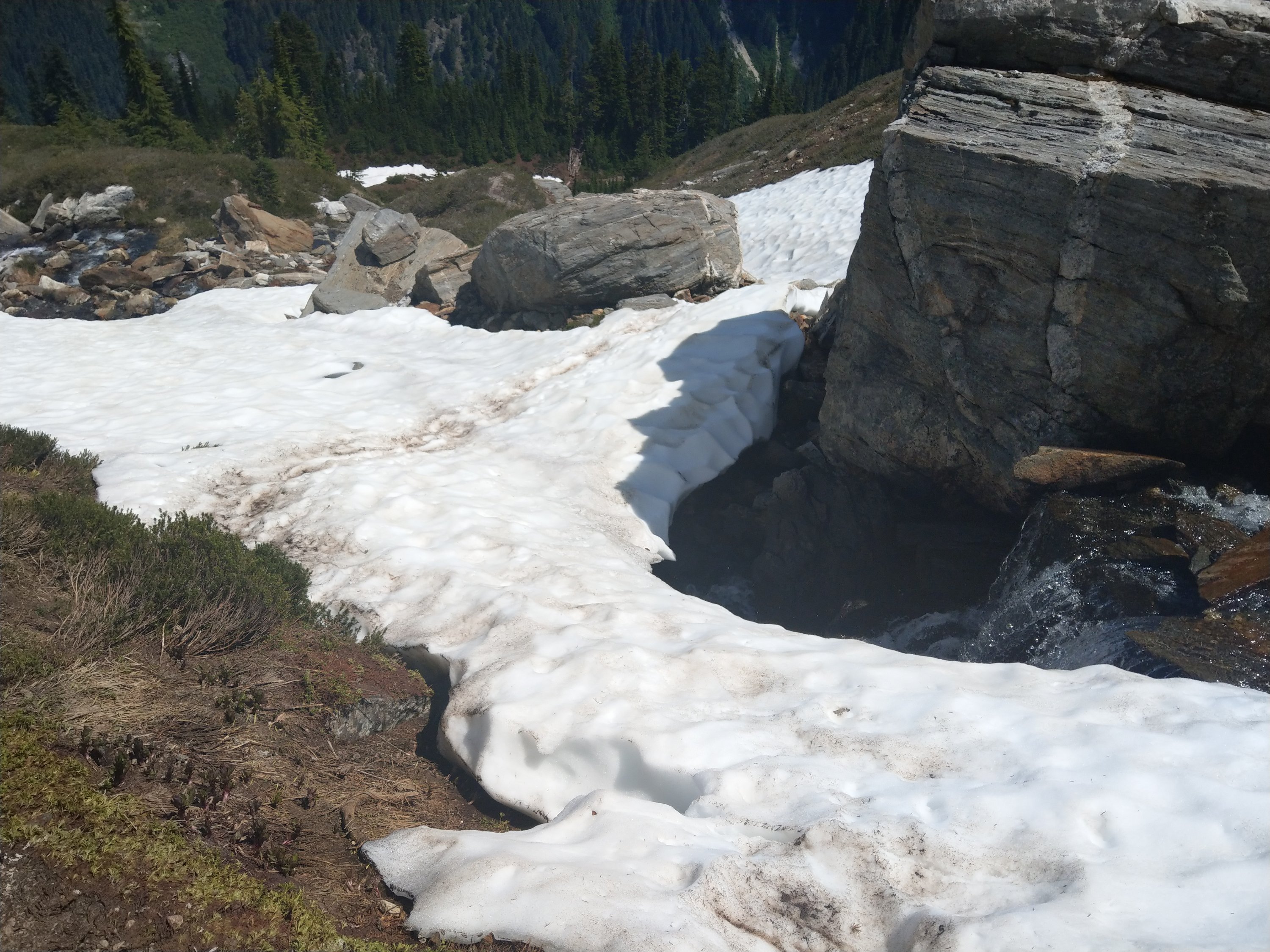

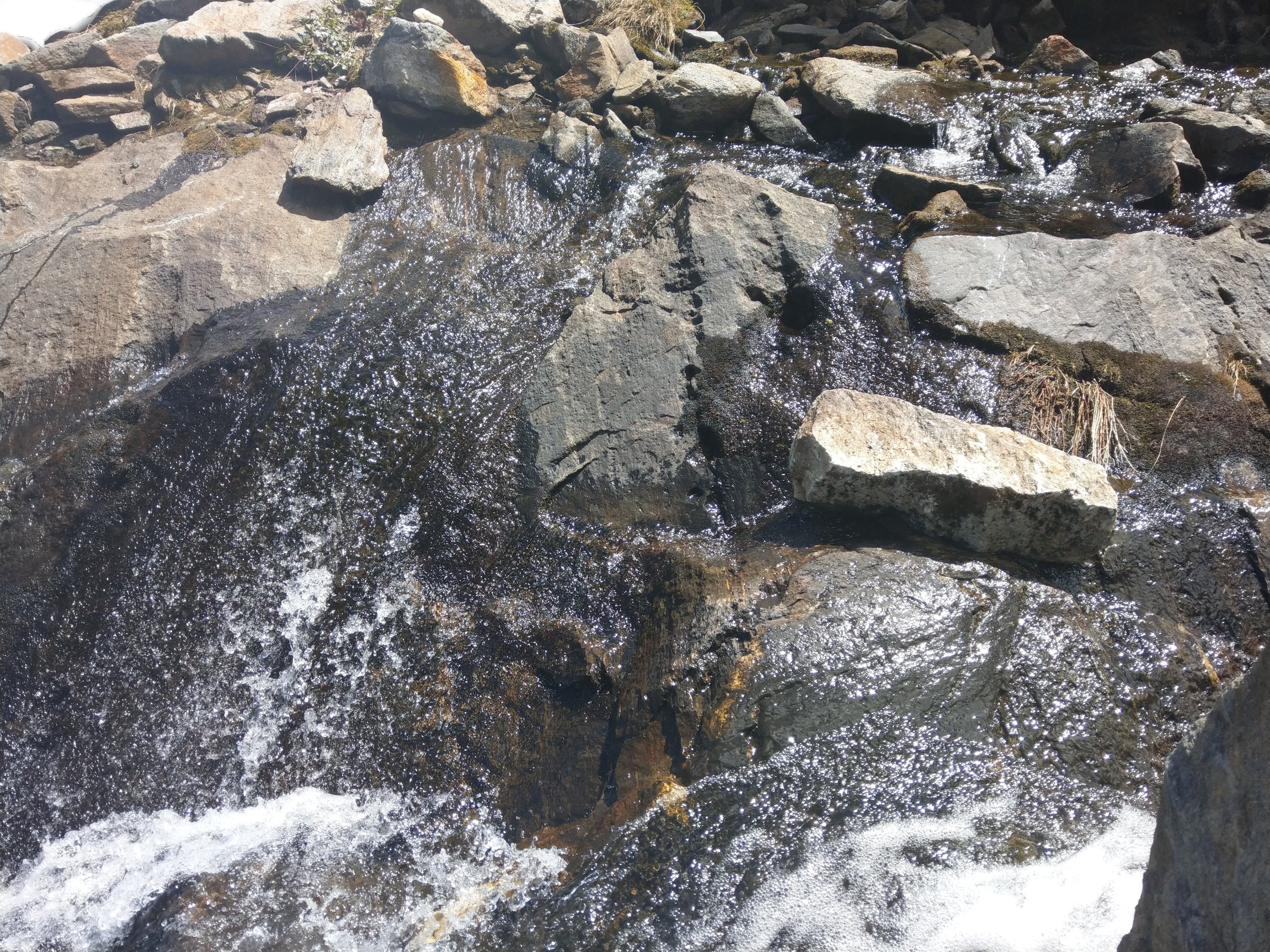
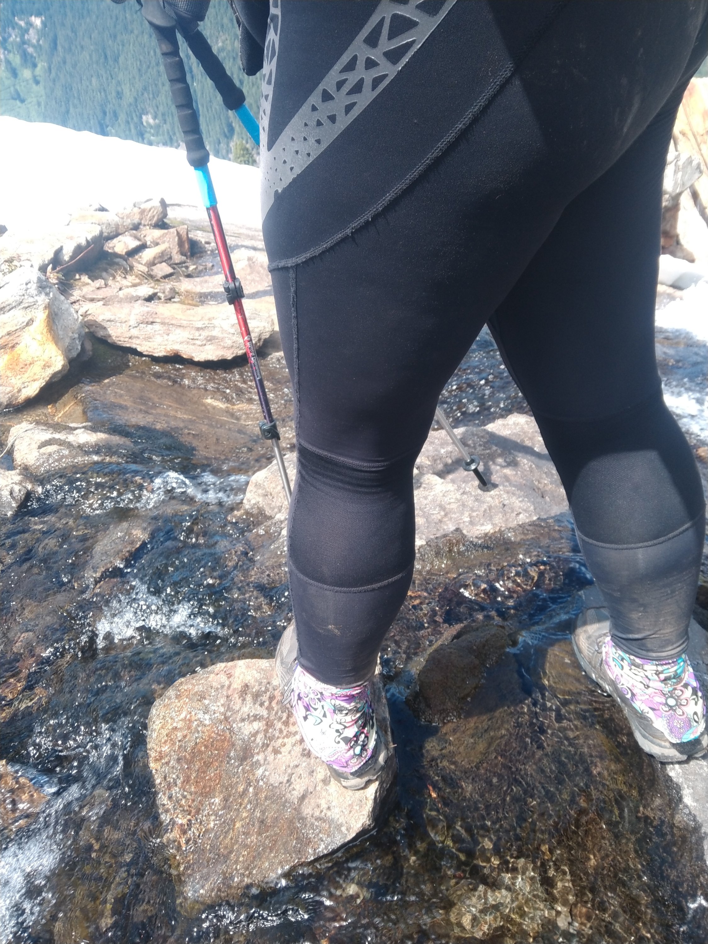
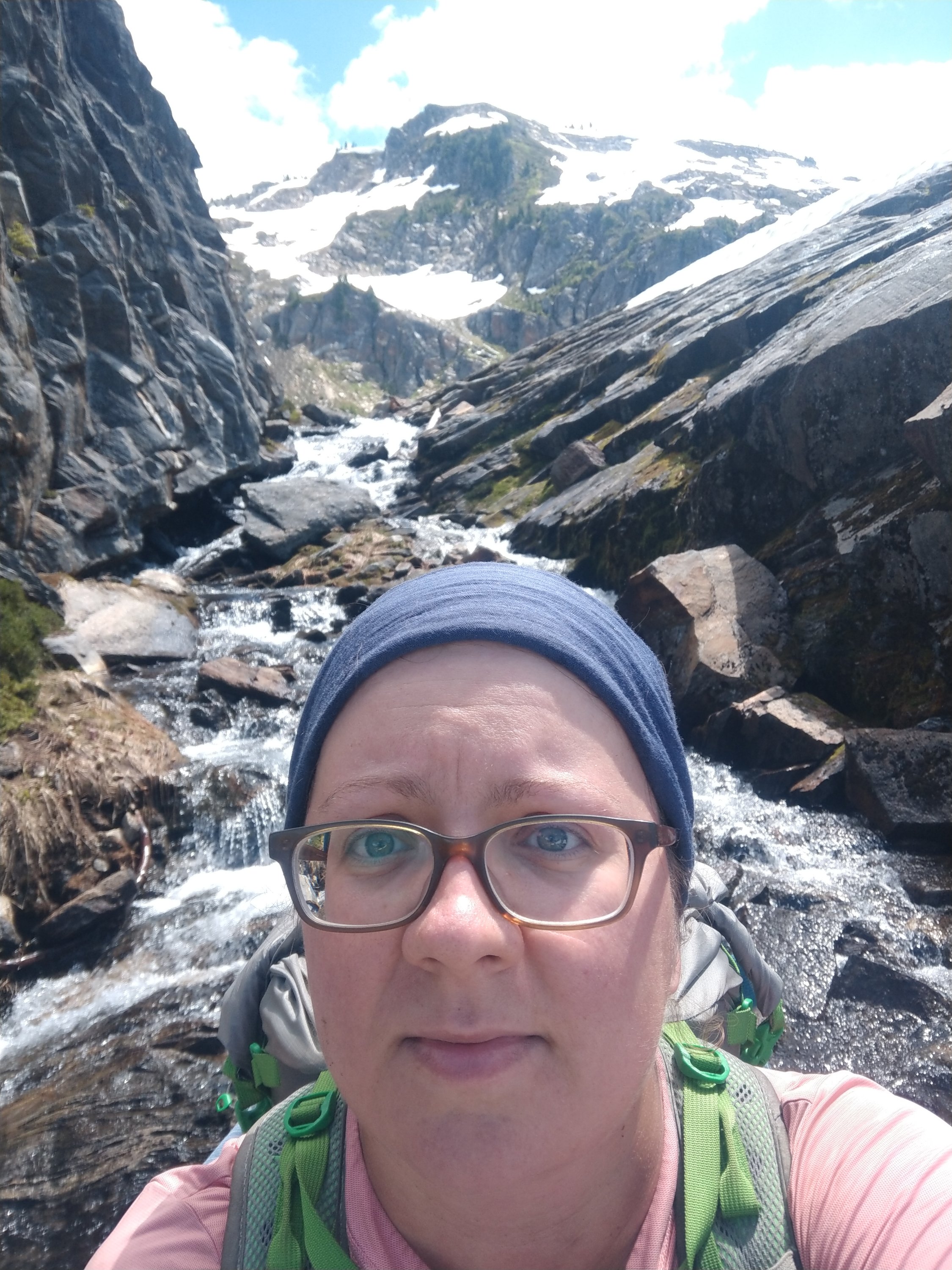

After falling in the snow on the other side and sliding a few feet I managed to scramble up to the lake, where Sink, Deerbait and I made lunch and tried to see the route over the pass. Trying to, because most of the trail was covered in snow.
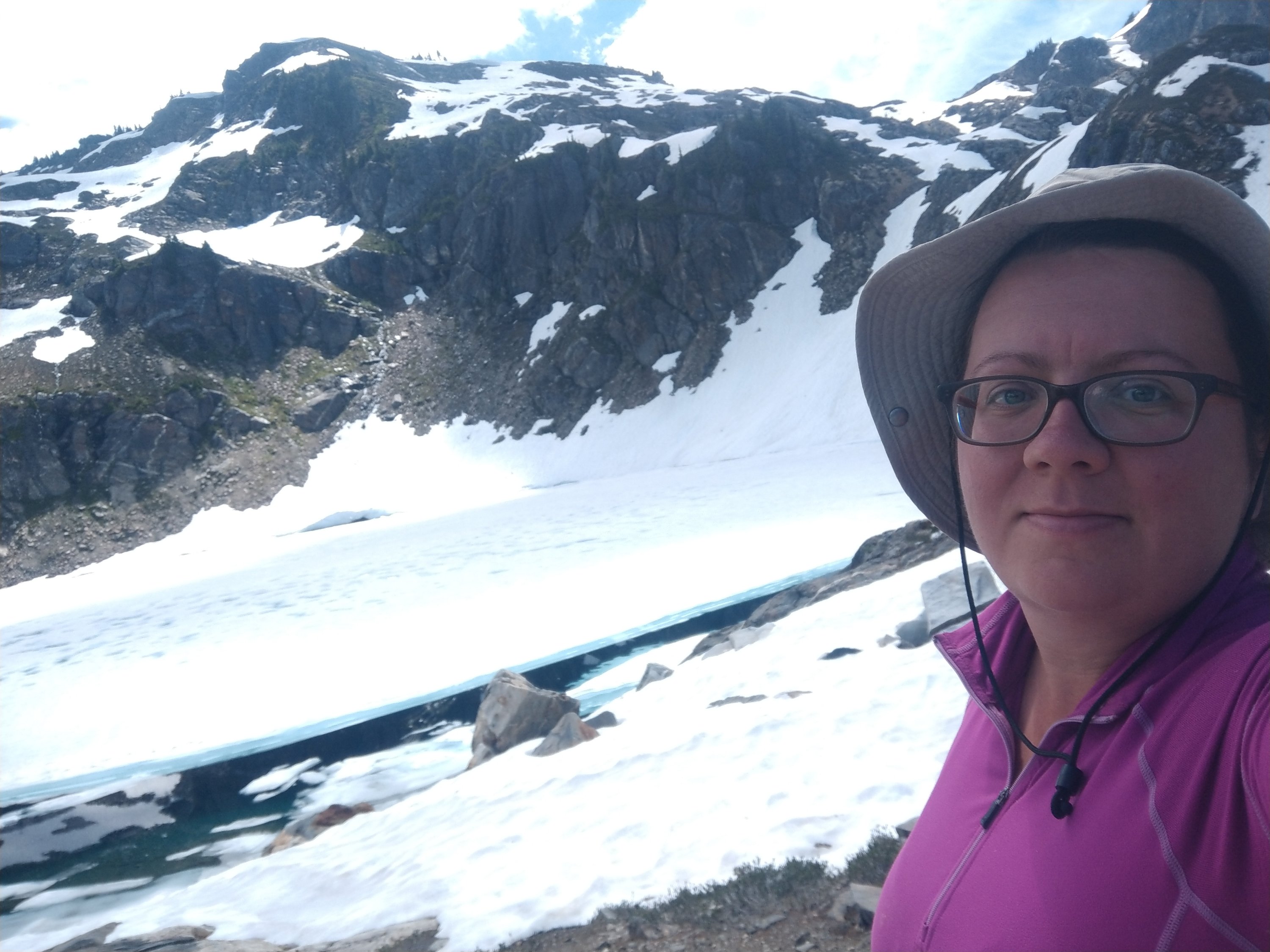

We decided to hike together for this stretch and it took over an hour, a lot of snowwalking, partly in Microspikes, to cover the mile to the top. I was absolutely exhausted when we got to the top. Sink was as well, so we decided to only go another 2ish miles to the closest campsite.


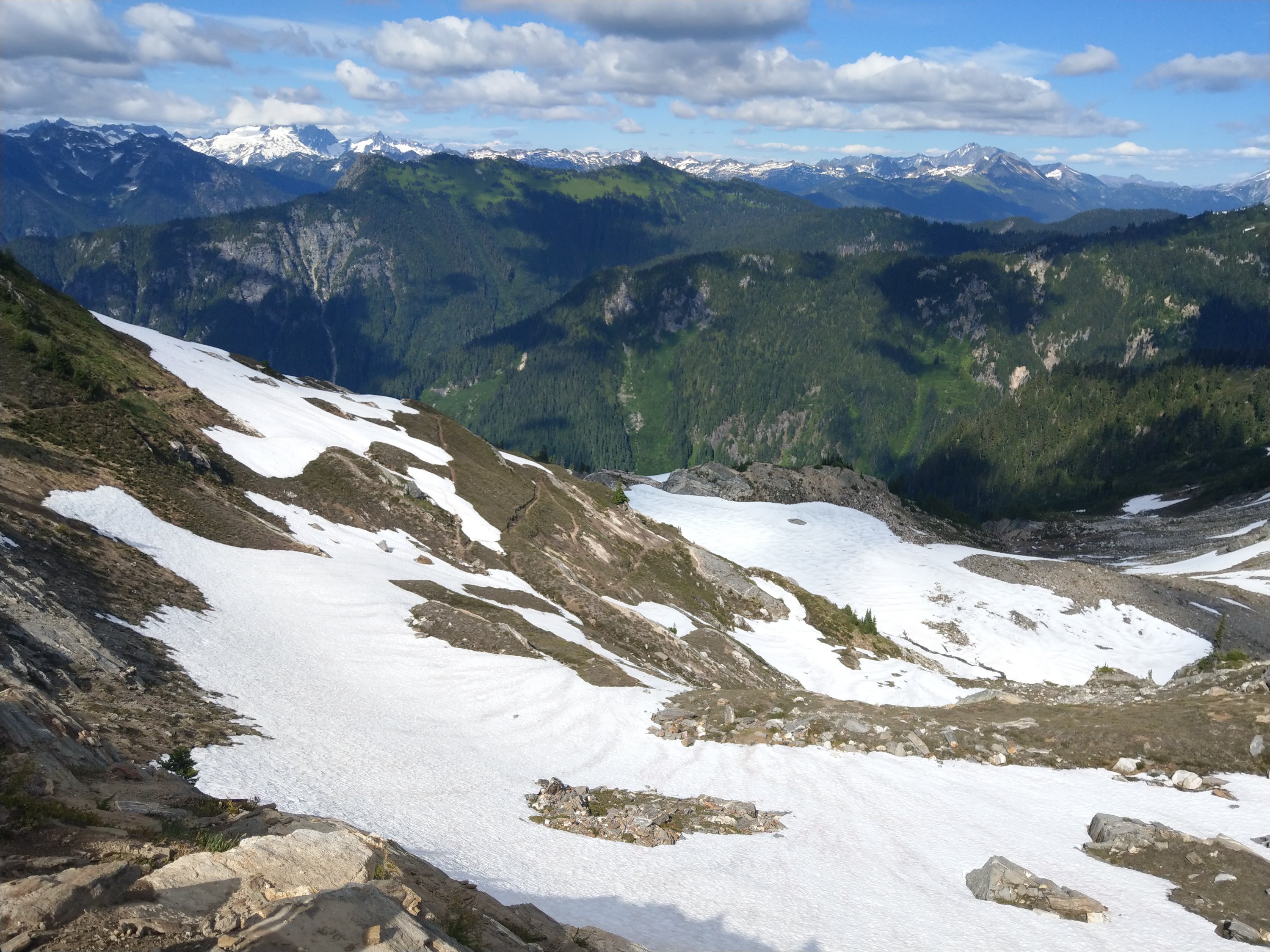
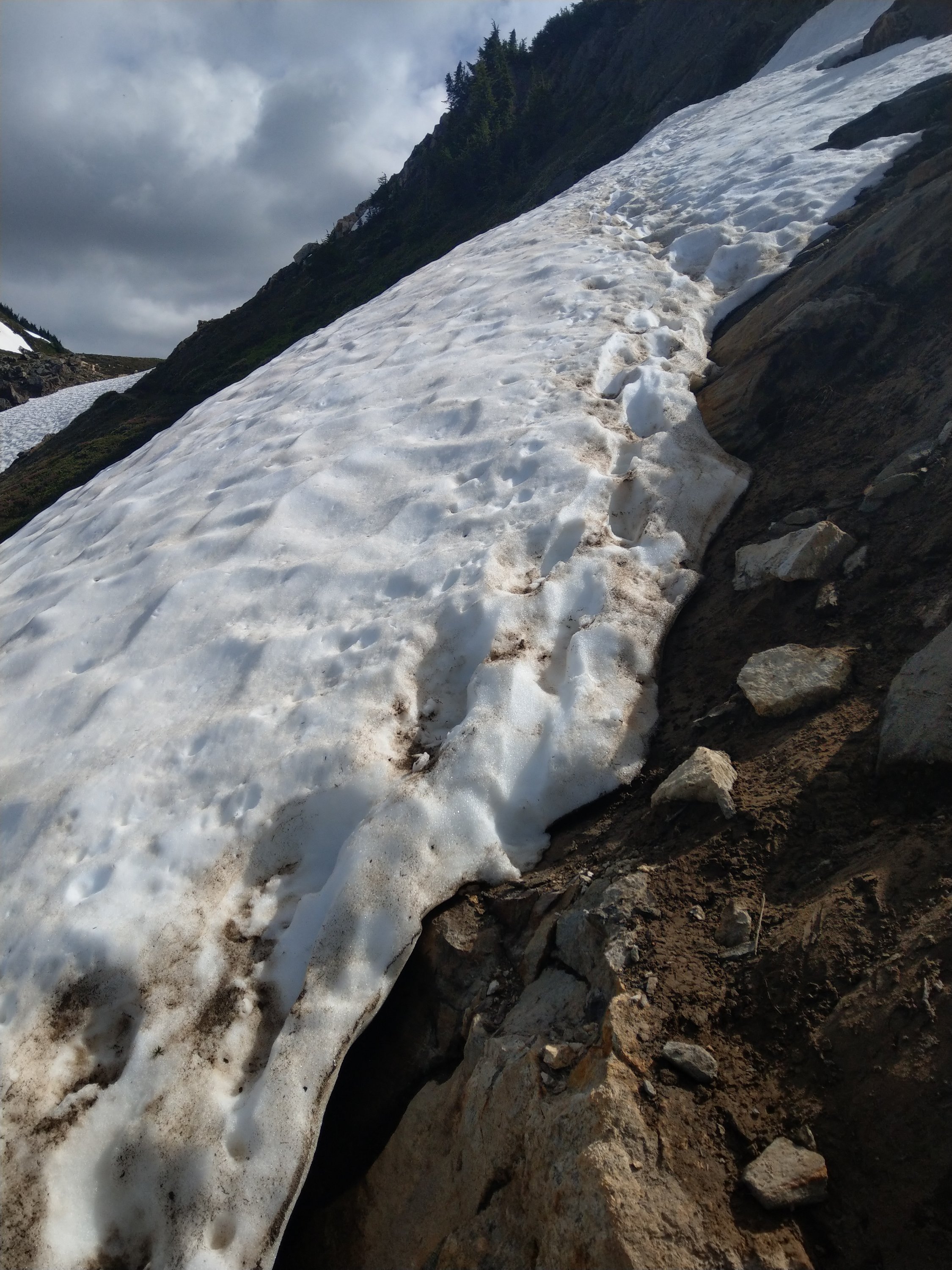

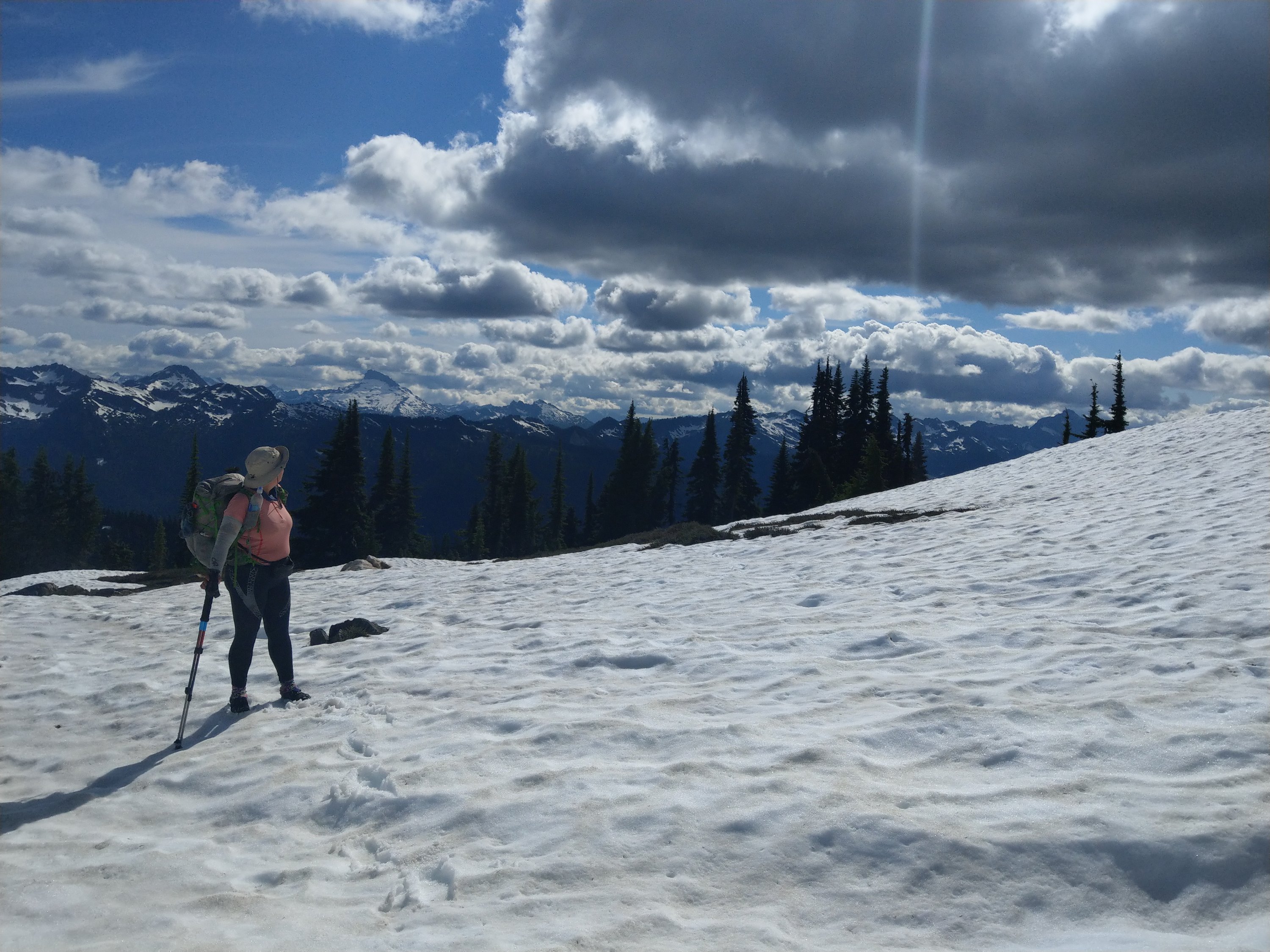
Mashed potatoes for dinner, and my food is getting pretty low. Which is good for my packweight, not so good for my morale 😂
Tomorrow should be a big day, I hope we can do it. Another big and a few small climbs and descents, getting us ever closer to Steven’s Pass and the end of this section. Hopefully it won’t be as cold tonight.
Keeping you posted….
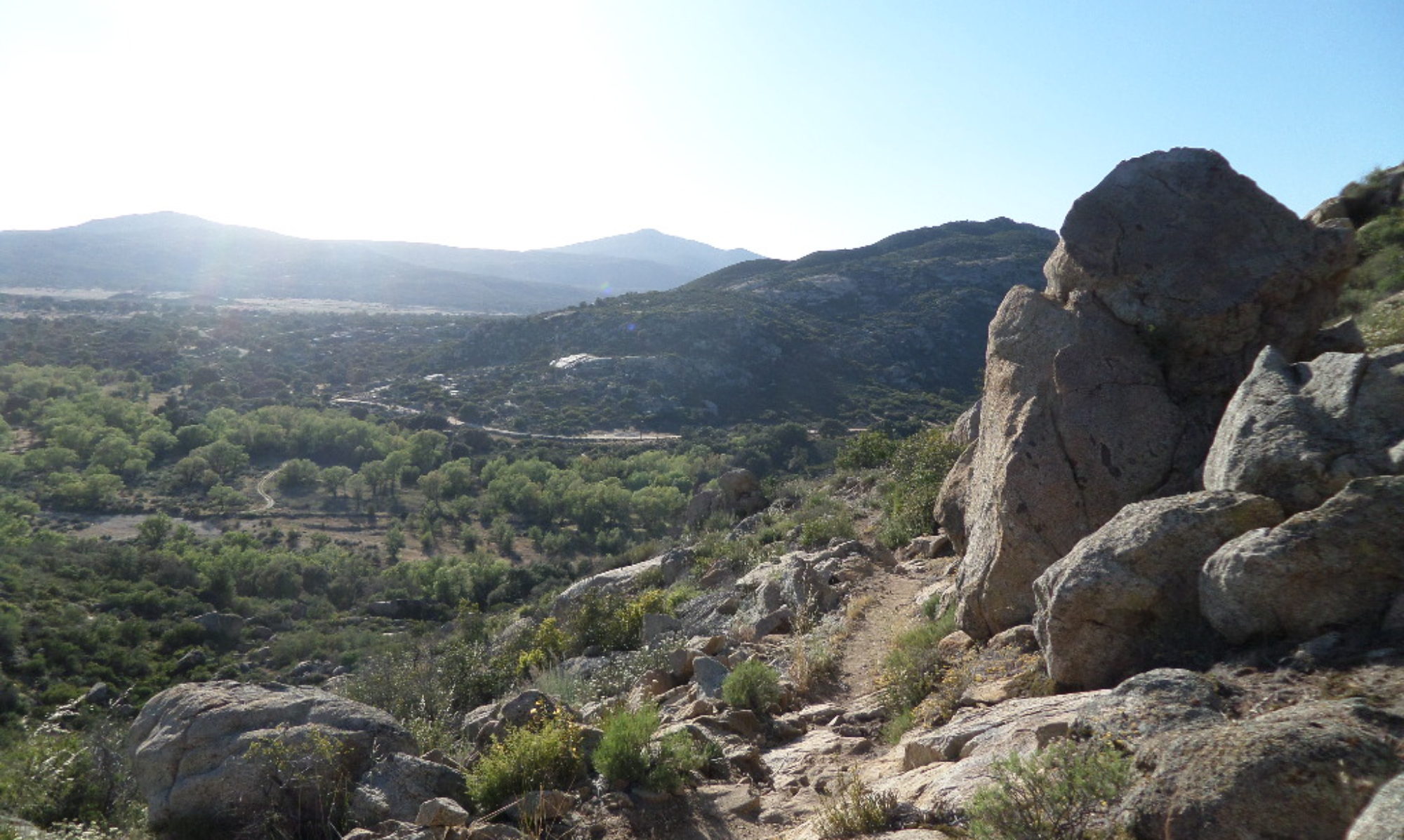
I have wondered from the start and I keep wondering…how the heck do you find your way around the trail? I mean… for someone like me it does look like you could loose it pretty easily…?
No, it’s mostly the only visible trail around. And I have an app using GPS for location…
Beautiful pictures of all the snow! And what an amazing view!